January 2008 Continued...
January 23, 2008
Here are some more photographs from yesterdays snow squall event...
BEAU DODSON PHOTOGRAPHY
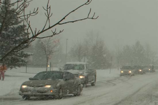
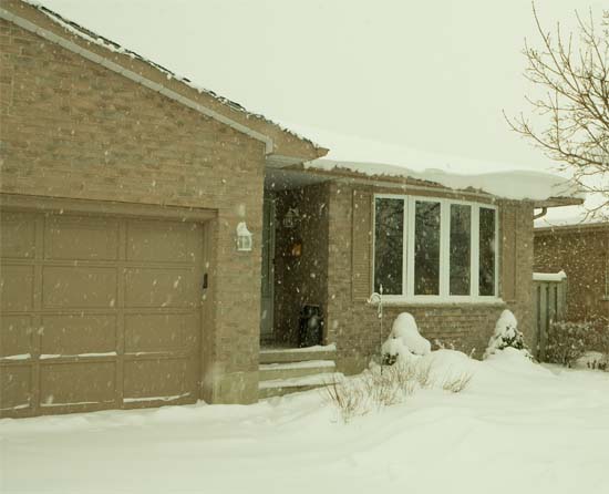
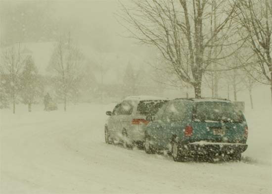
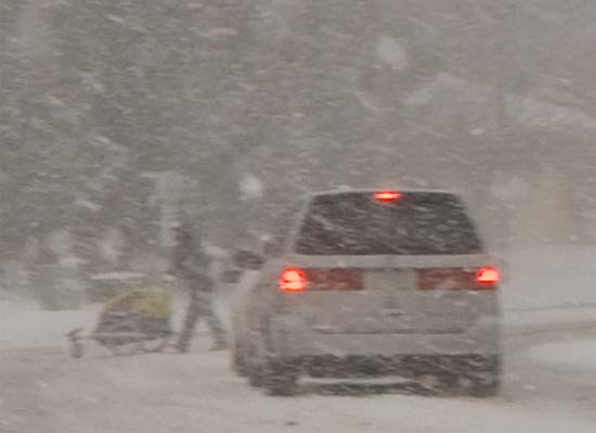
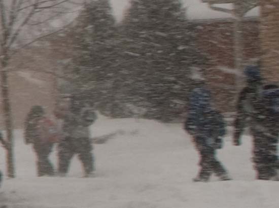
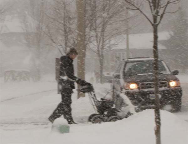
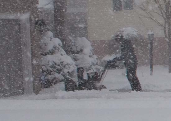
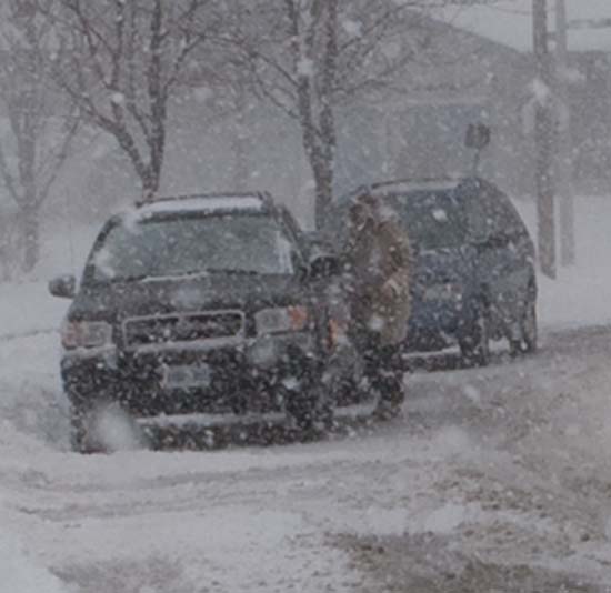
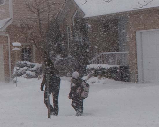
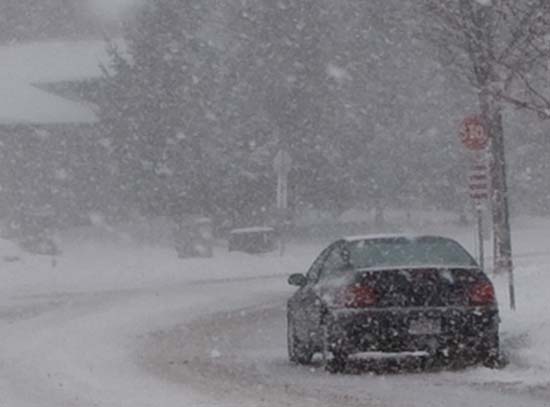

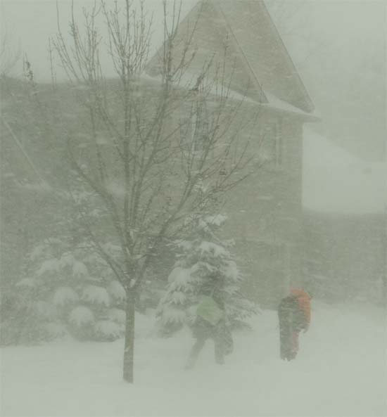
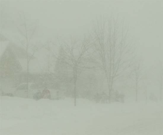
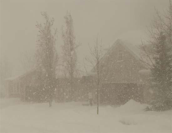
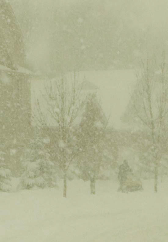
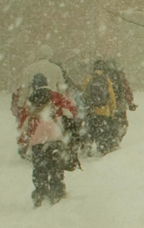
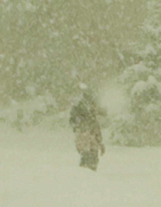
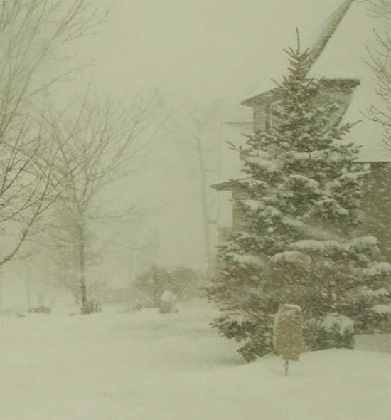
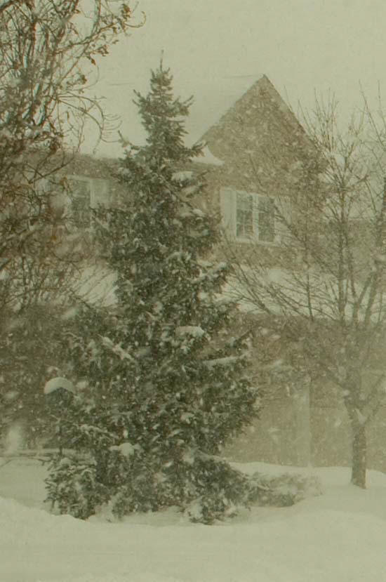
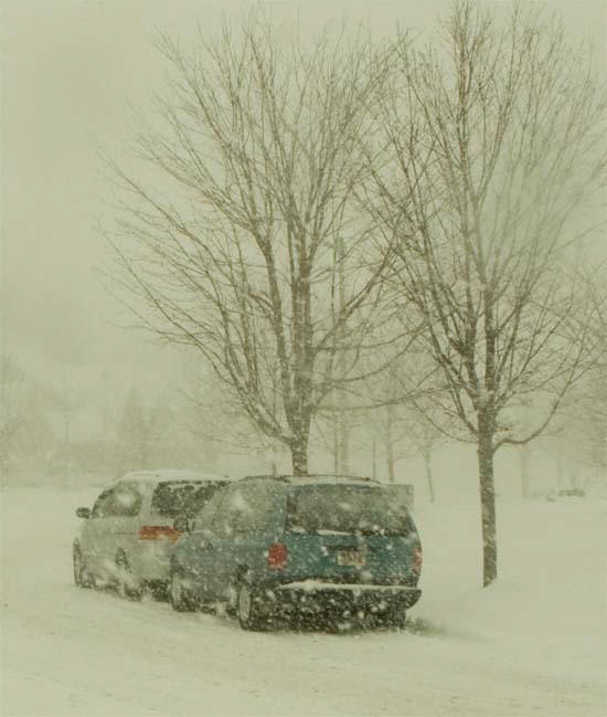
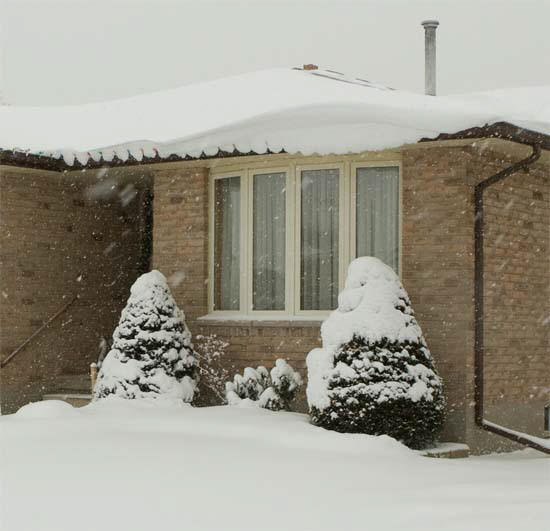
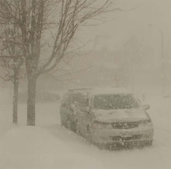
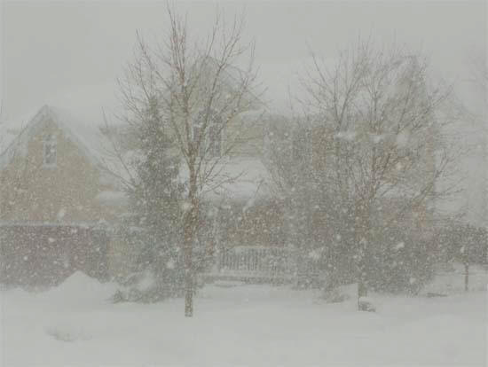
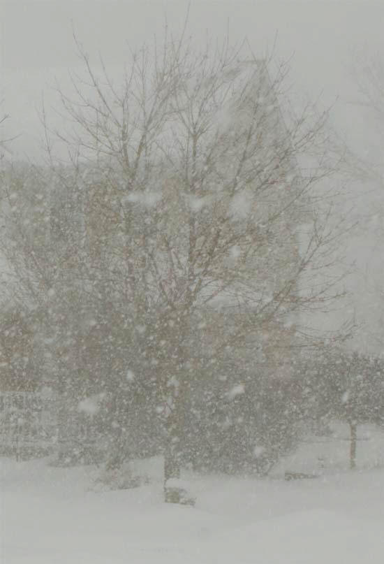
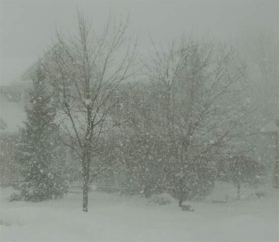
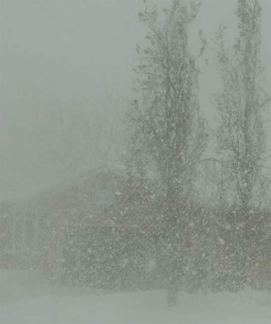
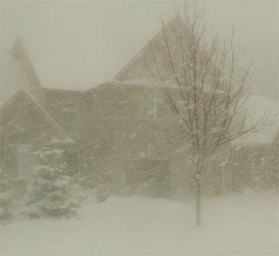
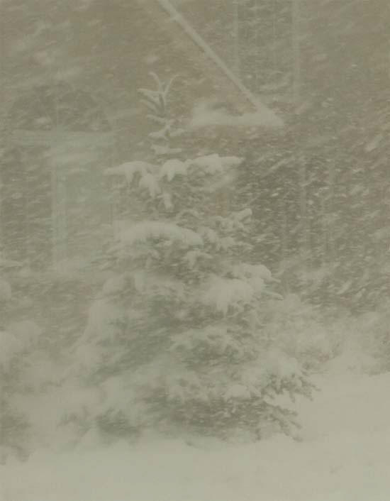
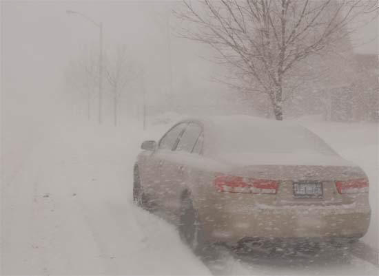
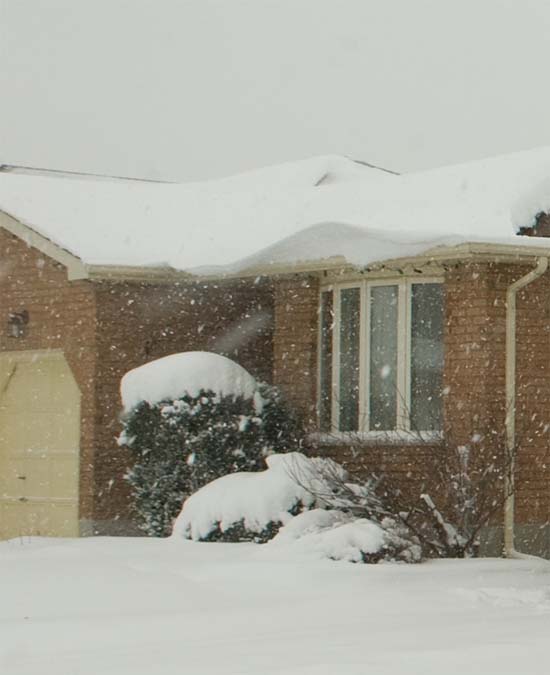
Beau Dodson Photography - Waterloo, Ontario
January 24, 2008
Cold enough out there for everyone? Temperatures have been recorded as low as 30 degrees below zero in Minnesota. WELCOME to winter! BRRRR...
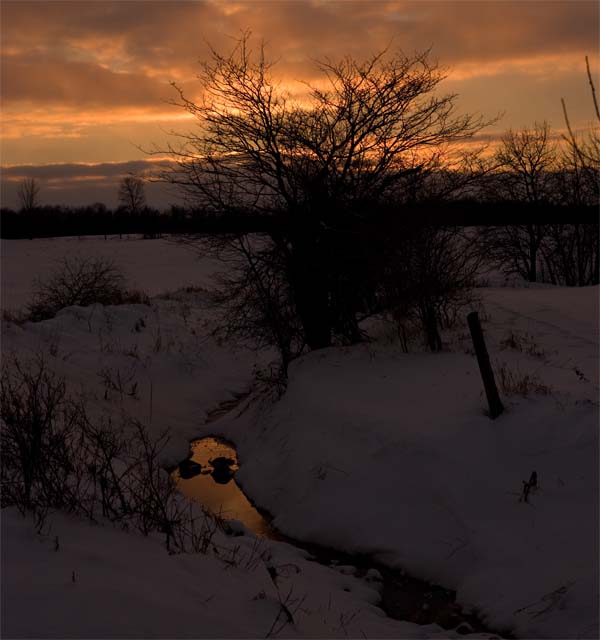
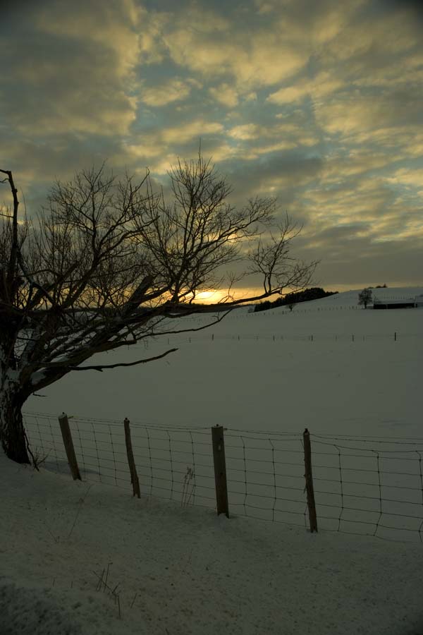
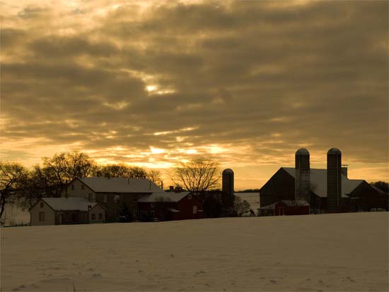
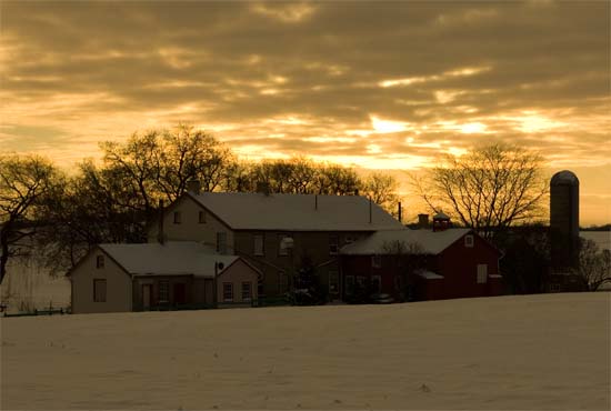
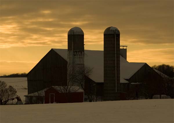
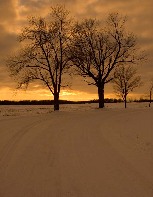
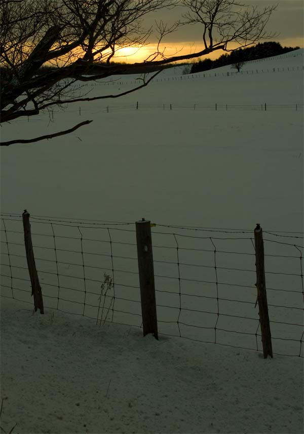
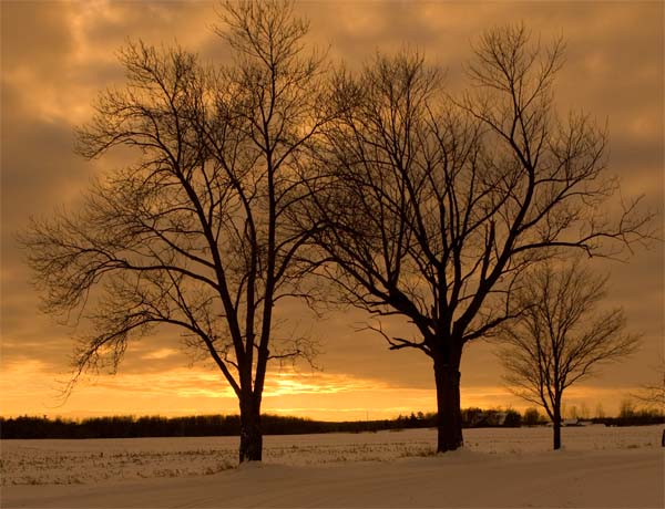
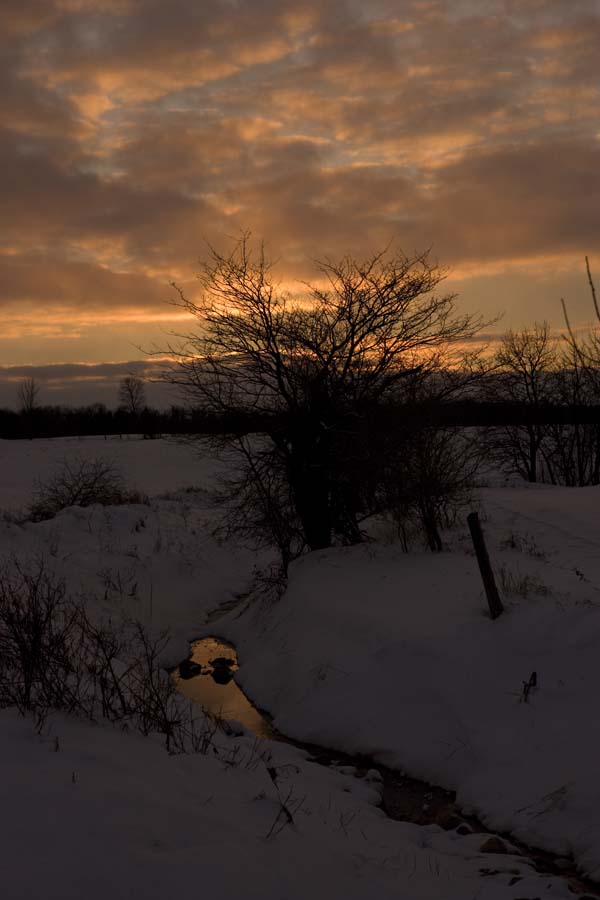
Sunset in Waterloo this evening...
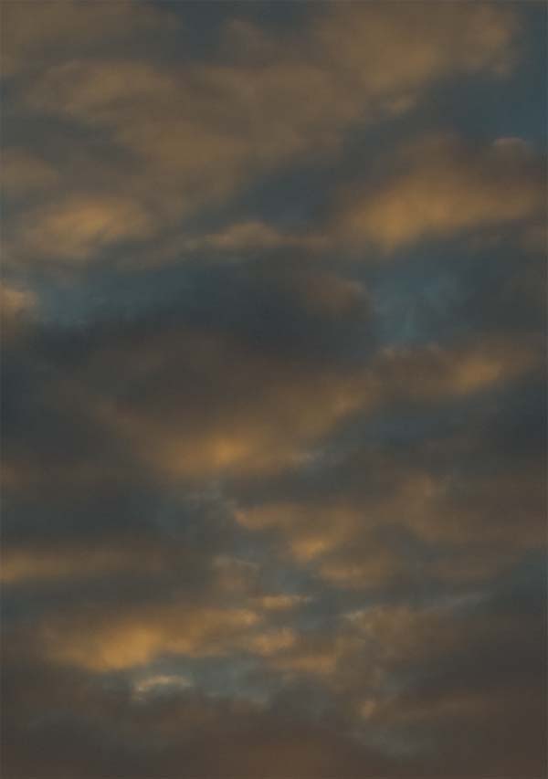
Sunset in Waterloo, January 24 - Beau
Dodson Photography
Sunset in Waterloo, January 24 - Beau
Dodson Photography
Sunset in Waterloo, January 24 - Beau
Dodson Photography
Sunset in Waterloo, January 24 - Beau
Dodson Photography
Sunset in Waterloo, January 24 - Beau
Dodson Photography
Sunset in Waterloo, January 24 - Beau
Dodson Photography
Sunset in Waterloo, January 24 - Beau
Dodson Photography
Sunset in Waterloo, January 24 - Beau
Dodson Photography
Sunset in Waterloo, January 24 - Beau
Dodson Photography
Sunset in Waterloo, January 24 - Beau
Dodson Photography
January 28, 2008
Another snow event on the way for Waterloo? Yes...but not after a substantial rainfall tonight and Tuesday.
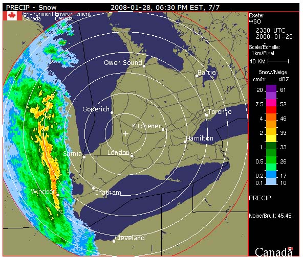
Evening radar
A big rain maker is heading for Southern Ontario. This will likely wash the snow that is currently on the ground. Temperatures will rise through the night. A brief period of freezing rain is also forecast. The rain will then change to snow on Tuesday Night. Accumulations of 2-4cm are expected. The bigger story may be the high winds. As the low deepens, winds will increase across Southern Ontario. This will bring about substantial blowing and drifting snow. White out conditions are expected across the region.
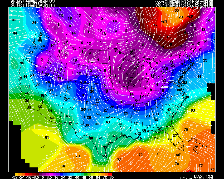
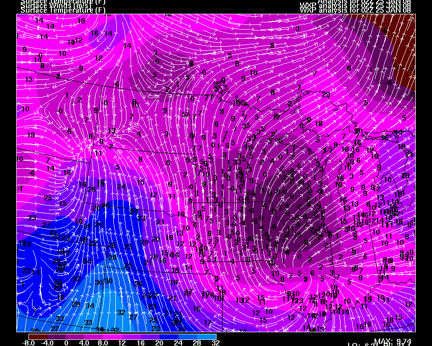
This is an extreme weather event. Temperatures across portions of the Upper Midwest have fallen more than FIFTY degrees in the past twenty-four hours. Wind chill values across the border from North Dakota and Montana are anywhere from minus fifty to minus EIGHTY degrees. Severe blowing snow is being reported as well. NWS Offices are issuing blizzard warnings for portions of Iowa and Illinois. Meanwhile, the SPC has placed a LARGE area of the Ohio Valley into the Great Lakes under a slight risk for severe thunderstorms tomorrow. Amazing weather!
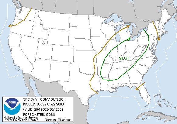
SPC Slight Risk Tuesday
The next big weather maker will be a winter storm that will move across the Central and Eastern United States on Thursday, Friday, and Saturday. Heavy snow is forecast for this region. At this time it looks like snowfall amounts could exceed 4 inches. The track of the low is still in question. Some models are showing more than a foot of snow from Missouri, Indiana, and into Ontario. Stay tuned!
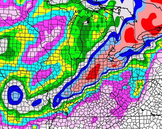

GFS Snowfall Forecast - through Saturday. Impressive!
Turn the page for more weather
Home | About | News | Upcoming Events| Photo Gallery | Video | Links | Contact
All Photos are copyrighted by Beau Dodson (unless otherwise clearly stated) and are used on this site with his permission. Any use other than authorized by them is against the law. If you wish to contact him regarding use of these photos, please e-mail me and I will forward it.